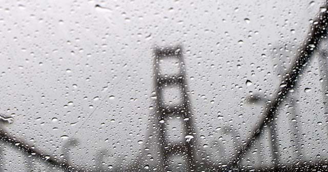
Temperature drops, rain, and snow from a cold front originating in the Gulf of Alaska started pummeling Northern California on Friday, prompting highway closures and “winter weather advisories” in the middle of spring.
The harsh weather “dove” down into the state Friday night and began dumping rain on Saturday, SFGATE reported.
Temperatures across the state are predicted to be 5 to 20 degrees lower than normal through Monday, the outlet noted.
“Impressive late-season low pressure system will bring [a] short, sharp hit of cold rain (and mountain snow above ~4k ft) this [weekend],” University of California – Los Angeles climate scientist Daniel Swain wrote on X. “Nearly everywhere in NorCal should see good soaking, [with] lighter showers into SoCal. This will be quite a cold system by May standards.”
Impressive late-season low pressure system will bring short, sharp hit of cold rain (and mountain snow above ~4k ft) this wknd. Nearly everywhere in NorCal should see good soaking, w/lighter showers into SoCal. This will be quite a cold system by May standards… [1/4] #CAwx pic.twitter.com/9aHL8XD4iy
— Dr. Daniel Swain (@Weather_West) May 3, 2024
Snow levels got as low as 2,500 feet above sea level in coastal areas, with the National Weather Service (NWS) for Eureka issuing a “winter weather advisory” for “adverse driving conditions and possible travel delays Saturday morning.”
An unusual cold storm for early May will bring snow to the mountains late tonight through Saturday. 1 to 3 inches are forecast during the early morning hours on Saturday above 2500 feet. Anticipate adverse driving conditions and possible travel delays Saturday morning. #CAwx pic.twitter.com/IiEiO3aRlu
— NWS Eureka (@NWSEureka) May 3, 2024
“Inland valleys in the area stretching between the California-Oregon border and Lake County could see overnight lows that are near freezing to freezing on Saturday and Sunday nights,” SFGATE added.
The Bay Area also got a dose of the storms, with an advisory being issued for a portion of the San Francisco Peninsula by the NWS due to “minor flooding” on highways, streets, and underpasses.
Urban Area and Small Stream Flooding Caused By Excessive Rainfall Is Expected.. #CAwx pic.twitter.com/hdv4YYXZV5
— NWS Bay Area 🌉 (@NWSBayArea) May 4, 2024
By Sunday morning, the Bay Area was nearly dry once again.
“It’s pretty much going to be a one-day event,” Alexis Clouser, an NWS Bay Area forecaster, said.
After Interstate 80 experienced “heavy snow and multiple spinouts,” the California Department of Transportation turned traffic around in both directions near Lake Tahoe on Saturday afternoon.
On Sunday morning, officials reopened the lanes for vehicles with chains or snow tires.
The winter storm is expected to weaken as it heads down into Southern California with weather officials predicting light rain.
